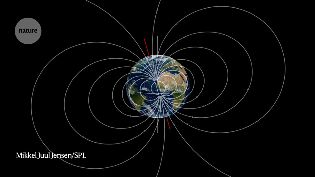
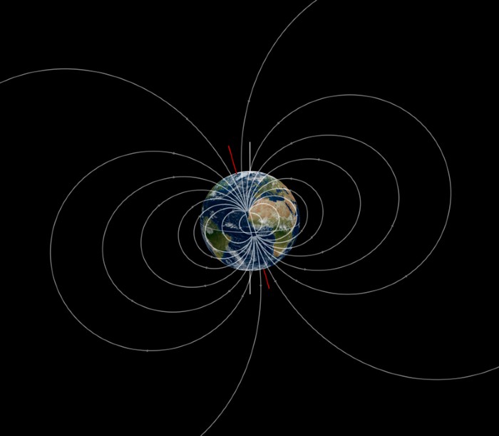
Earth’s magnetic field (depicted as white lines in this artist’s impression) can be studied with observations from a constellation of commercial satellites. Credit: Mikkel Juul Jensen/Science Photo Library
Geophysics
Telecoms satellites’ new purpose: spying on Earth’s magnetic field
Satellites that were never meant to map Earth’s magnetic field turn out to be good at the job.
The company Iridium Communications, based in McLean, Virginia, has operated a constellation of 66 satellites in low Earth orbit since 1997. Each carries a device to detect the planet’s magnetic field so that the satellite can orient itself properly.
Brian Anderson at the Johns Hopkins University Applied Physics Laboratory in Laurel, Maryland, and his colleagues analysed magnetic data collected by Iridium satellites between 2010 and 2015. The measurements are low-resolution compared with those from spacecraft dedicated to studying Earth’s magnetic field, but because of the number of Iridium satellites and the orbits in which they travel, they can map the entire field in a single day.
Global maps made with the Iridium data could reveal new details about changes in Earth’s magnetic field, which is generated by molten iron sloshing in the planet’s outer core. That could help researchers to develop better systems for navigating using the magnetic field.